Skip to main content
Explore the Island Map
View alerts
Train Out of Service
The Captain Hussey Train will be out of service Monday 8 June – Monday 15 June 2026. There will be replacement bus services for the Grand Island Tour which can be booked at the Quokka Coaches Kiosk.
I'm searching for...
Search redirect
Open search
See & Do
Indulge in new experiences
View all
What's On
Beaches & Water Activities
Wildlife & Nature
Culture & History
Sport & Recreation
Eat & Drink
Shopping & Services
Hire
Stay
Choose your accommodation
View all
Stay Rottnest Self-Contained
Stay Rottnest Campground
Stay Rottnest Hostel & Dorms
Discovery Rottnest Island
Samphire Rottnest
The Lodge Wadjemup
Visit
Plan your visit
View all
Getting Here
By ferry
By air
By private boat
Luggage & equipment
Getting Around
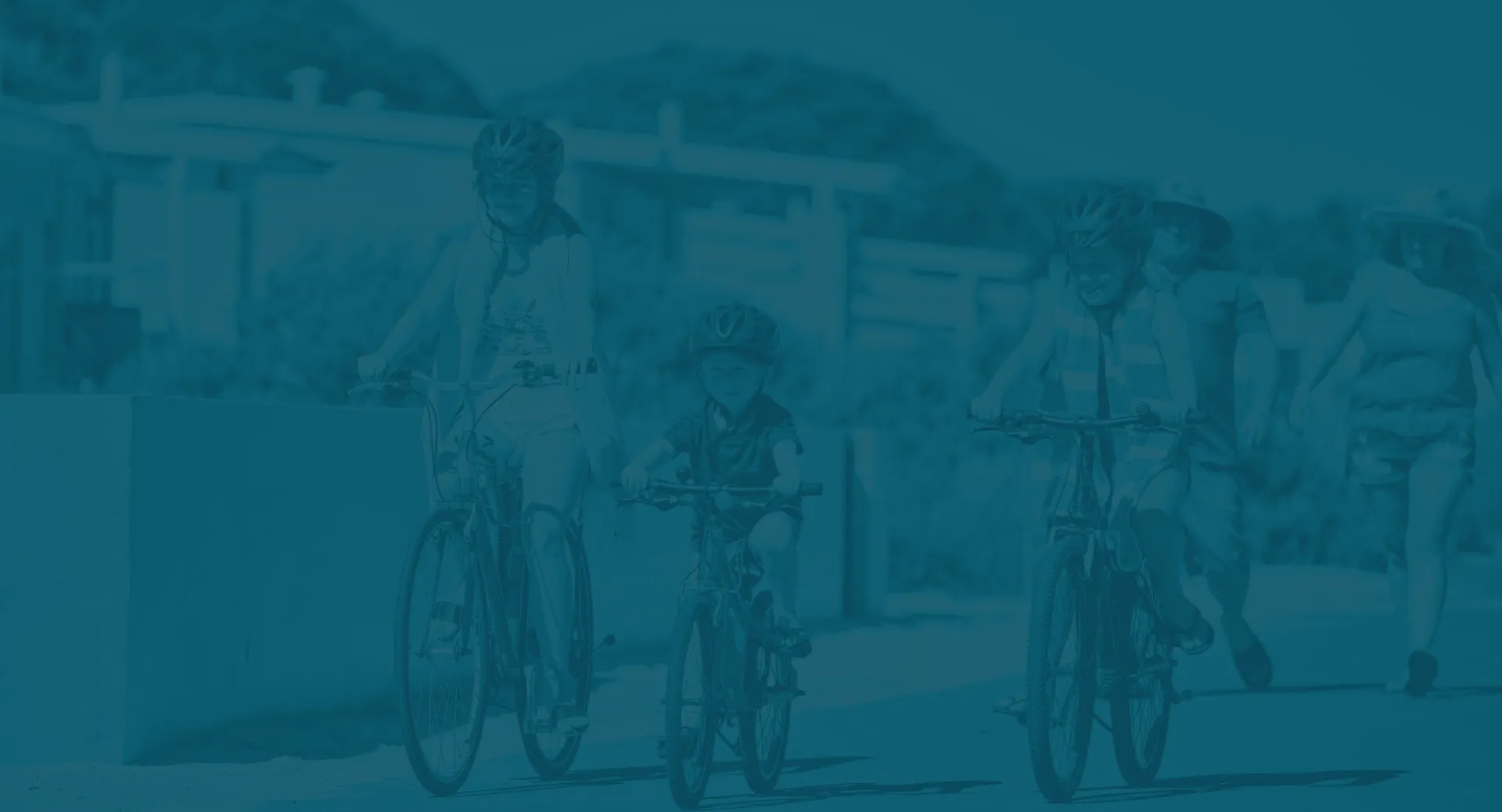
By bike
By bus
By foot
By private transfer
Visitor Information
Guides & Tips
Accessibility
Groups & Functions
Rent a mooring
Learn
Develop a deeper connection
View all
Learn the Story of Wadjemup
Location
Aboriginal Culture
Aboriginal History
Military & Maritime History
Nature & Wildlife
Sustainability
Deals
Need to get in touch?
Contact us
Home
Error Pages
404
404
The page you were looking for couldn't be found
Want to stay up to date on all the latest events, deals & tips?
Name
*
Please enter your name
Email
*
Please enter a valid email address
I'm looking for
*
A romantic escape
A family holiday with kids
A solo island retreat
A getaway with friends
All the island inspiration
Please select at least one option
I agree to the
Privacy Statement and Terms of Use
of Rottnest Island Authority.
*
Please check this box to proceed
*
Required information
Subscribe
Thank you for subscribing.
Subscribe